Horse-riding tourism
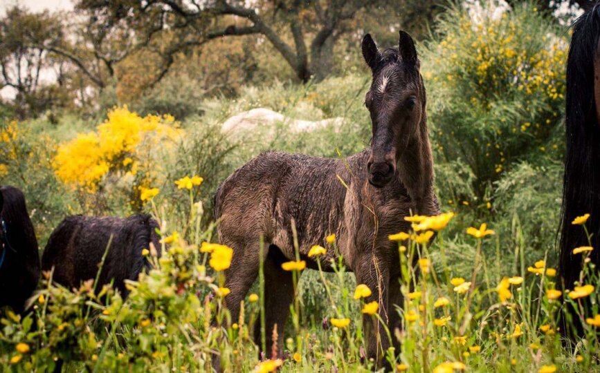
Tajo Internacional is a territory of equestrian tradition. The knights of the Military Order of Alcántara dominated it astride their fine mounts. Nowadays traditional festivals such as ‘La Pelá del Potro’ in Mata de Alcántara reveal the deep-rooted relationship between the inhabitants of Tajo Internacional and these animals.

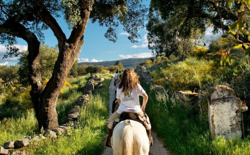
Few experiences are more enriching than discovering these spectacular frontier landscapes on horseback. The good condition of the trails means that most of the itineraries and paths of the reserve can be followed in this way. Moreover, on the Spanish side there are equestrian routes so that enthusiasts or those who wish to take up the sport can enjoy the perfect enclave. Indeed, numerous associations in the villages of the area organise routes throughout the year.
Moreover, some companies provide riding lessons, excursions on horseback to explore natural enclaves and the historical heritage, horse rental, hippotherapy activities, environmental education, etc. which will make your visit to Tajo Internacional unforgettable.

Horse-riding itineraries
To make the equestrian routes more accessible a horse-riding itinerary has been established with signs officially approved by the Spanish Royal Federation of Equestrianism (Real Federación Española de Hípica, RFHE) on a total of 190.35 km in 9 routes or horse-rising stages.
The dehesas play an undisputed leading role on this route. It starts from Membrío on the San Vicente Trail and after passing the Casa de la Jabalina and the Farmhouse of Benfayán crosses the great cork oak groves and dehesas until it reaches Herreruela. Then on the Alcántara Drovers’ Road it moves forward again to Membrío.
This itinerary follows the Tajo Natural Trail (GR 113) from Membrío to Alcántara. On the 27 kilometres of this route we cross several streams which dry up in summer. Once we have crossed the River Salor the trail follows a drovers’ road which takes us to an extensive grain field until we reach Alcántara.
This route begins at the Tourist Office of Alcántara. The so-called Alcántara Trail takes us in the direction of Zarza la Mayor. The terrain is undulating and we are surrounded by impressive woods of holm oaks and pines and pasturelands and streams within embedded watercourses. Here the Mediterranean woodland can be seen in all its glory.
We leave Alcántara and cross the Gata Royal Drovers’ Road in a southerly direction. On this route we pass numerous farmhouses and huts which are examples of the traditional architecture of Extremadura. The first kilometres follow the trail to the Chapel of the Virgen de los Hitos, which takes us to Villa del Rey.
Having reached this point we turn north to reach Brozas and its monuments on the common land of the extensive ‘Dehesas Boyales’ and the Charca García.
From Membrío to Santiago de Alcántara we will follow the Tajo Natural Trail. Among streams and the Sierra de San Pedro lies the village of Carbajo. This route shows us a magnificent dehesa overflowing with vegetation and with abundant fauna, particularly red deer; it is highly recommended for enjoying the rut in autumn.
You should visit the “El Péndere” Visitors’ Reception Centre in Santiago de Alcántara so as to find out all the information on this enclave. Moreover, if you want to feel the energy of our ancestors don’t miss the cave of ‘El Buraco’ with its paintings of 5,000 years of age and an incredible panorama of the dehesa of Extremadura.
This route begins at the El Buraco hostel in Santiago de Alcántara and follows the itinerary of the Tajo Natural Trail, to be precise the ‘Path from Cedillo to Santiago de Alcántara’, an ancient road used by the inhabitants of this indomitable landscape.
In the distance it can be seen how the trail winds over gentle hills as far as the Aurela Stream. The landscape is rugged as the trail descends towards the brooks. In total three of them are crossed; the Rivera Aurela, the Regato de las Tomasas, and the Regato Negrales.
The stage ends at the jetty on the River Tajo after we have passed the village of Herrera de Alcántara.
This route runs through the heart of the Tajo Internacional Nature Reserve on the banks of the cross-border Tajo. On the first section it rises on a concrete trail to the Green Path, which is part of the network of routes of the Tajo Internacional Nature Reserve, from Santiago de Alcántara to Cedillo.
The rockroses then dominate the sunny side of the banks of the Cabrioso Stream. After enjoying the Site of Community Importance (Lugar de Importancia Comunitaria, LIC) of “Cedillo and River Tajo Internacional” and the Special Bird Protection Area (Zona de Especial Protección para las Aves, ZEPA) of “Río Tajo Internacional y Riberos”, on the Tajo and Sever watercourses we come to Cedillo. On this route you fall in love with the views of the basin of the Tajo and its exuberant wild nature. This area is perfect for birdwatching as the black stork, griffon vulture, black vulture, and golden eagle can all be found here.
The star feature of this route is the berrocal or rocky ground. Moreover, this land holds a multitude of megalithic complexes. We are in the so-called ‘La Campiña’ exploring frontier territories steeped in history. La Campiña consists of ten frontier villages with a dozen inhabitants. The path we must take is the ‘El Charrúa Trial’ which despite several ups and downs presents no difficulties.
We return on the Casas del Corchero Trail and the Calleja de la Plancha to link up with the surfaced road of Buenavista, thus returning to the built-up area of Valencia de Alcántara.
This is a circular route which mainly runs through an area of La Campiña on dirt roads through cork groves and impressive berrocales. As far as kilometre 7 it follows the itinerary of Route 10 of the MTB Centre, which borders one of the sides of the Alpotrel Reservoir. From this reservoir we take the La Legua Trail which gives its name to the route. Once we have crossed the abandoned railway line on the way down we take the Los Barreros Trail to reach the Alpotrel Stream. When we have crossed it we return to Valencia de Alcántara via the Sotomayor Trail.

